| |  | | | |
|---|
 | | |  | | |
| | | (no image available) | | |
| | |  | | |
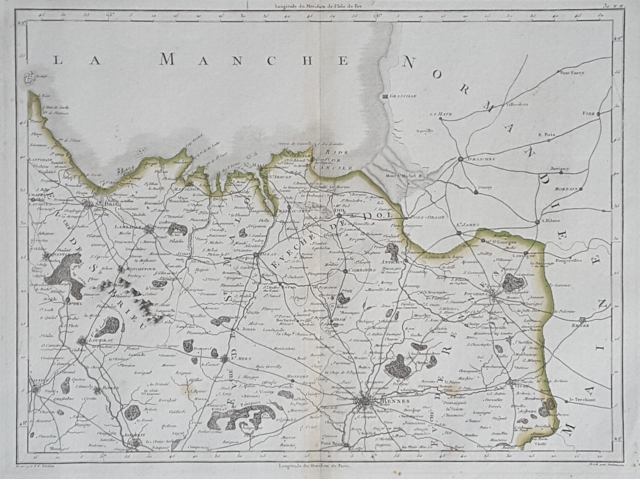
| | | 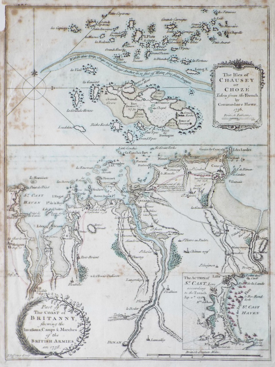 | Part of the Coast of Britanny, shewing the Invasions, Camps & Marches of the British Armies in 1758.
The Isles of Chausey or Choze Taken from the French by Commodore Howe, 1756
Ref: P/23380
Region: Saint-Malo
Type: Copper
Engraver: Jefferys T
Not for sale |
| |
| | |  | | |
| | |  | | |
| | |  | | |
| | | 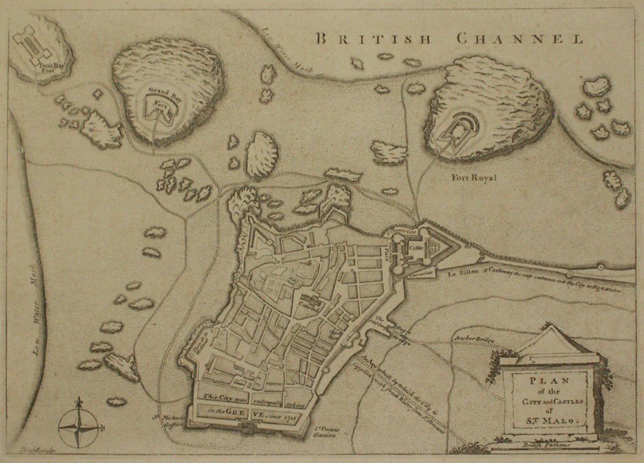 | | |
| | | 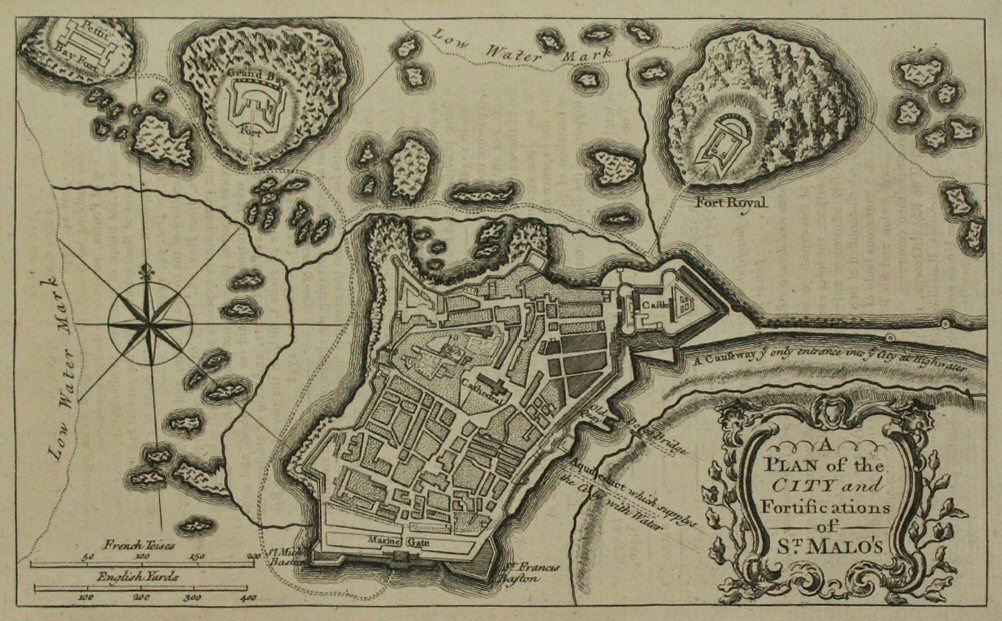 | A Plan of the City and Fortifications of St. Malo's
Ref: P/11423
Region: Saint-Malo
Type: Copper
Date: 1758
Not for sale |
| |
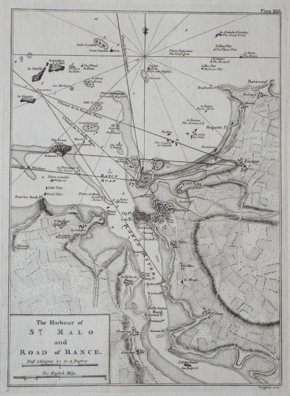
| | | 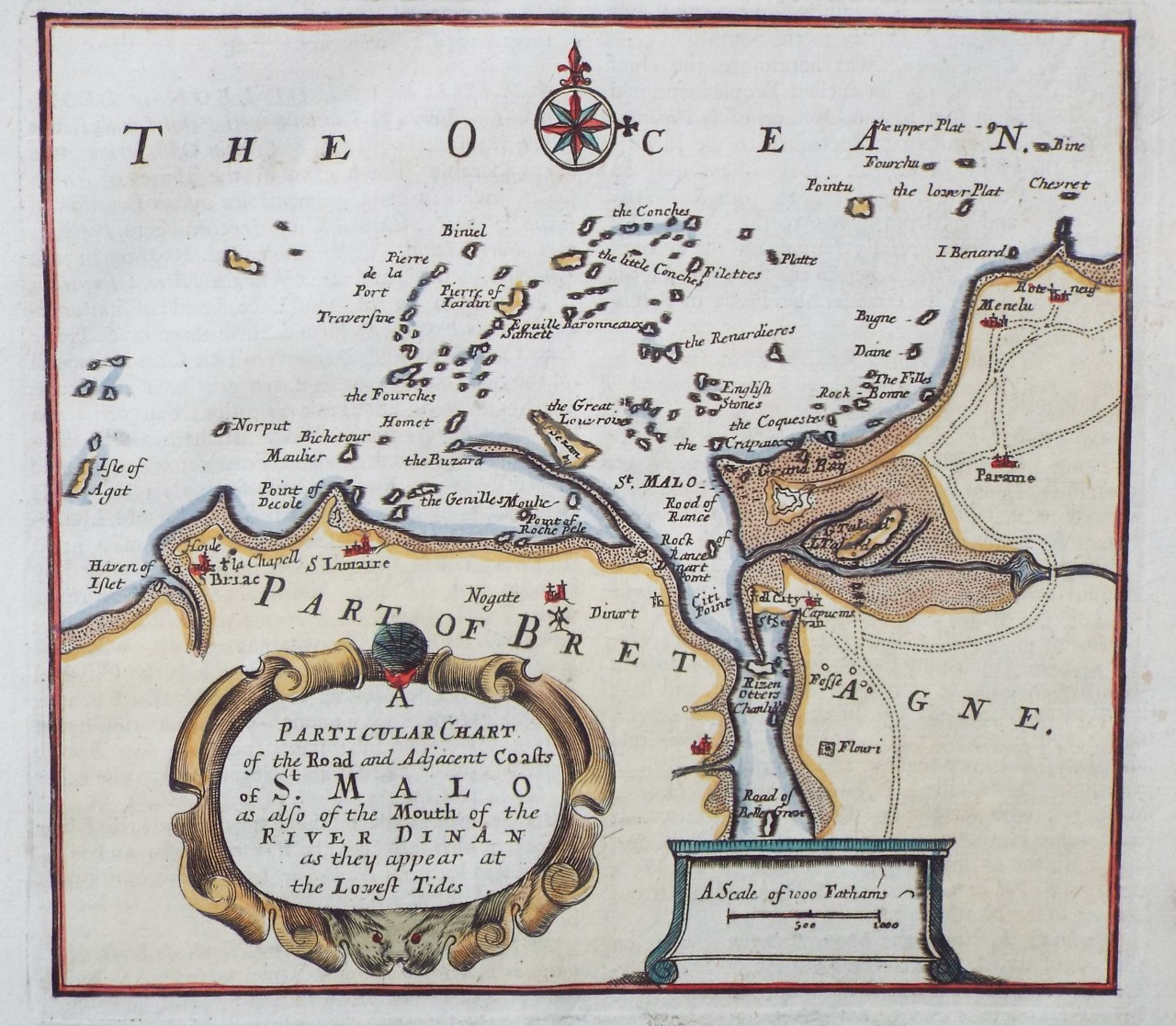 | A Particular Chart of the Road and Adjacent Coasts of St. Malo as also of the Mouth of the River Dinan as they appear at the Lowest Tides.
Ref: P/31545
Region: Saint-Malo
Type: Copper
Date: 1709
 |
| |